|
| *****SWAAG_ID***** | 131 |
| Date Entered | 18/02/2011 |
| Updated on | 18/02/2011 |
| Recorded by | Tim Laurie |
| Category | Burnt Mound |
| Record Type | Archaeology |
| Site Access | Army Range |
| Record Date | 29/12/2008 |
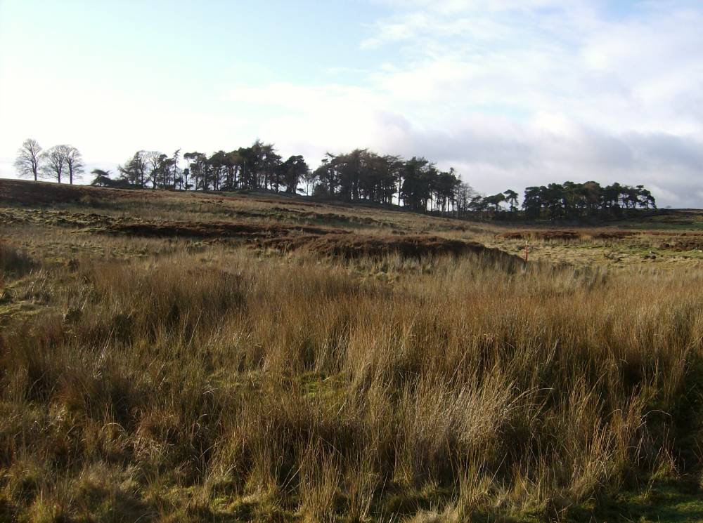
| Location | Bellerby Moor. Burnt Mound Site 4, at head of Park Gill. |
| Civil Parish | Not known |
| Brit. National Grid | SE 09106 93184 |
| Altitude | 300m |
| Geology | Main Limestone at head of Park Gill, an intermittently dry stream. |
| Record Name | Bellerby Moor. Burnt Mound Site 4, at head of Park Gill. |
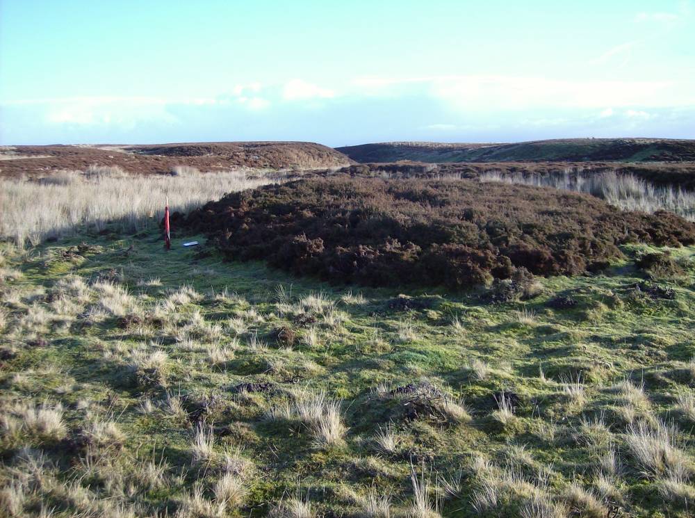
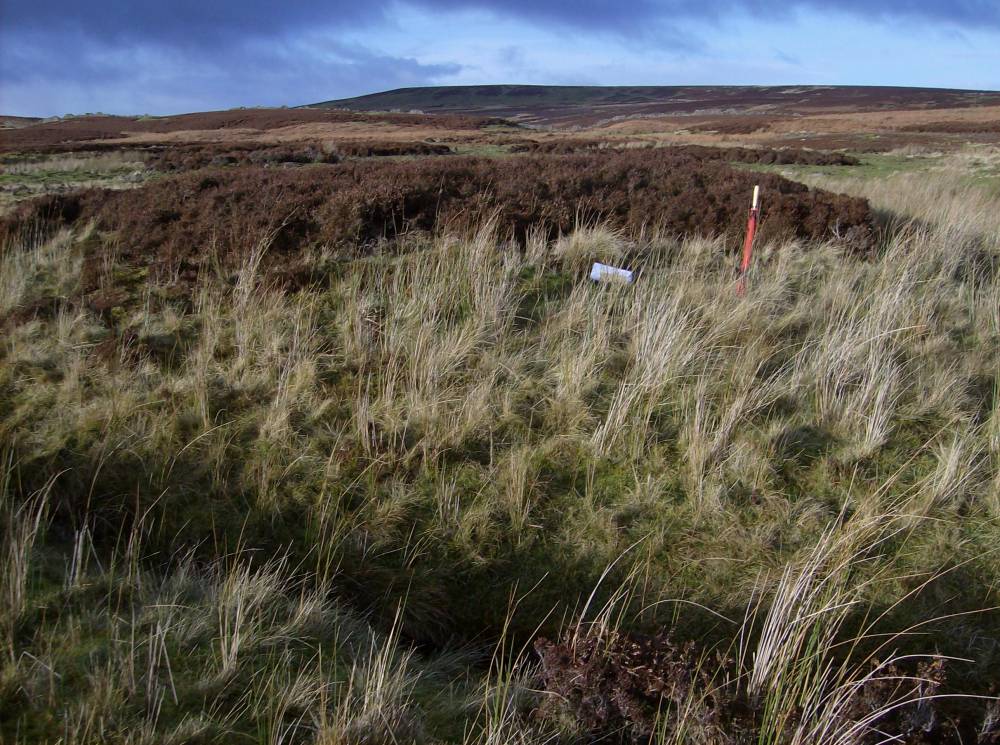
| Record Description | Very large burnt mound 12mdia*.75m high located onside of small stream above Park Gill. Heather covered with some visible burnt stone. |
| Dimensions | 12mdia*.75m |
| Additional Notes | This is the largest of the burnt mounds in this area of Bellerby Moor. |
| Image 1 ID | 303 Click image to enlarge |
| Image 1 Description | Bellerby Moor Ranges.Burnt mound Site 4. Located at the Head of Park Gill. | 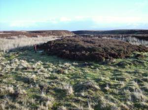 |
| Image 2 ID | 304 Click image to enlarge |
| Image 2 Description | Bellerby Moor Ranges.Burnt mound Site 4. Located at the Head of Park Gill. | 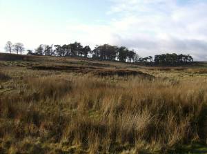 |
| Image 3 ID | 305 Click image to enlarge |
| Image 3 Description | Bellerby Moor Ranges.Burnt mound Site 4. Located at the Head of Park Gill. | 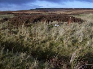 |
| Image 4 ID | 306 Click image to enlarge |
| Image 4 Description | Bellerby Moor Ranges.Burnt mound Site 4. Located at the Head of Park Gill. | 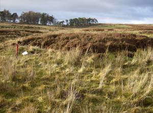 |